Bike Orlando
Over 40 Bike Trails, 300+ Miles
Ride Safe, Greater Orlando, Disney Area
Trail Maps & Photos Galore
You are here >
Home >
Seminole County >
Cross Seminole Trail
Latest update: November 2023
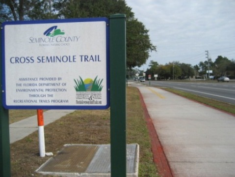
Cross Seminole Trail...
Connect to 4 Other Central Florida Trails + FL Coast-to-Coast Trail...
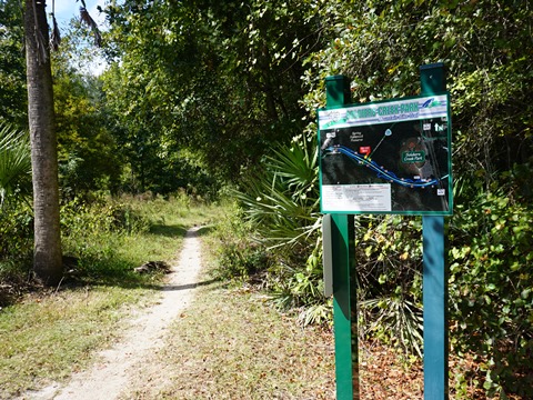
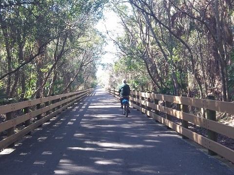
A designated Seminole Showcase Trail and one of the area's first rail-trails, the Cross Seminole Trail has been completed utilizing a connector through Oviedo which effectively fills that gap. It's now possible to ride 28 miles from the Orange/Seminole County line at Aloma Ave. (southern end) to Lake Monroe Wayside Park west of Sanford (northern end). The Trail connects to 4 other popular bike trails (links below): (1) Cady Way Trail in Orange County at Aloma Ave., (2) Seminole Wekiva Trail, via a bike bridge over I-4 in Lake Mary, (3) the newly extended Sanford Riverwalk, and (4) the Spring-to-Spring Trail, just over the St. Johns River Bridge at Lake Monroe. Between the bridges, the Cross Seminole Trail serves as part of the FL Coast-to-Coast Trail. A portion is also designated as part of the Florida National Scenic Trail. (Trail map and photos below.)
Location: Seminole County, FL (Oviedo, Winter Springs,
Longwood, Lake Mary, Sanford)
End Points: Aloma Ave. at Howell Branch Road and Lake
Monroe Wayside Park
Mileage: 28 miles
Surface: Asphalt, 12' (some more narrow sections)
Trailheads/Parking: Solary Park, Black Hammock Trailhead,
Winter Springs Town Center, Central Winds Park, Soldiers Creek Park, Big
Tree Park, Greenwood Lakes Park, Lake Mary Trailhead, Lake Monroe Wayside
Park (See map)
Nearby Points of Interest: Big Tree Park, Spring Hammock Preserve,
Seminole County Environmental Studies Center, Lake Monroe Wayside
Park, Central Florida Zoo
Bike Shops / Rentals:
Adventure Cycling
(Winter Springs; rentals, repairs)
Trek Bicycle
Winter Park (sales, service)
Trek Bicycle Lake Mary
(sales, service)
Page Summary:
- Biking the Cross Seminole Trail
- Orange County Line to Oviedo
- Link to Cady Way Trail, mostly roadside to Oviedo. - Oviedo to Big Tree Park (Longwood)
- Mostly away from the road. Includes Winter Springs and Spring Hammock Preserve. - Big Tree Park (Longwood) to Wayside Park (Sanford)
- Mostly roadside, link to Seminole Wekiva Trail, Sanford Riverwalk and Spring-to-Spring Trail. - More Information and Resources
Biking the Cross Seminole Trail... Comments and Photos
This is a very diverse trail, winding through both residential and business areas, past parks and schools, and even a wilderness area. We've broken it into three sections from south to north, each with its own characteristics. We suggest the Best Section to Ride is Section 2 in the middle which includes the original rail-trail section between Oviedo and Winter Springs, and Spring Hammock Preserve between Winter Springs and Longwood. Here, fat-tire bikers can also enjoy riding on the unpaved trail through Spring Hammock Preserve Wilderness Area near the Environmental Studies Center, and on the Soldiers Creek Park Mountain Biking Trail.
Section 1.... Orange County Line to Oviedo
Howell Branch Road to Red Bug Lake Road Bridge - 4.5 miles
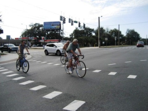
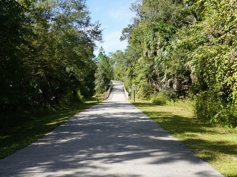
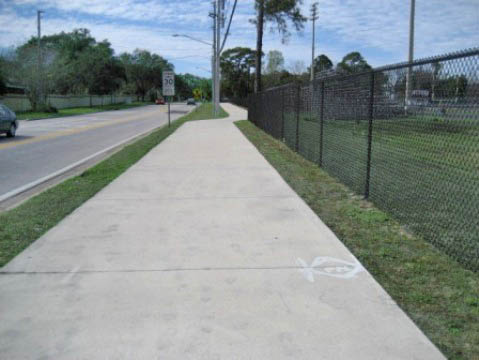
The Cross Seminole Trail starts along Aloma Avenue (SR 426) at Howell Branch Road, across from the end of the Cady Way Trail. Initially it runs roadside along Aloma, one of the least shaded portions of this trail. It then turns off the road, passing industrial and residential areas and for a portion is next to the SR 417 Expressway before re-emerging to the roadway. The bridge along Aloma at Red Bug Lake Road is a bonus, crossing a very busy intersection - be careful when crossing the business drives approaching the bridge. (Note: Goldenrod Park at the end of Cady Way Trail can be used for parking, cross Aloma Ave. to the Cady Way Trail.)
Red Bug Lake Road Bridge to SR 434 (Oviedo) - 1.5 miles
Continue over the bridge onto the sidewalk, then along Aloma to Oviedo Mall Blvd. (about 500 feet). Cross Aloma at the traffic light and follow the trail to S. Central Ave. (SR 434). This section of the trail passes commercial and residential areas with several road crossings.
Trail Through Oviedo - 1 mile
The trail crosses S. Central Avenue (SR 434 - traffic light), then it's about 1/4 mile to Oviedo Blvd. Turn left to Broadway St. (CR 419) and cross carefully at the traffic light. Continue on Oviedo Blvd. to the roundabout. Bear left and cross Geneva Drive to E. Franklin St. and Solary Park Trailhead (parking, restrooms, bike racks, picnicking). Proceed past the park along E. Franklin St. back to N. Central Avenue (SR 434). Cross at the traffic light (be careful) and go straight, up the connector to the main trail.
A note about Solary Park: The park is built around a stormwater retention pond that serves to filter water flowing to surrounding watersheds. A multi-use trail with boardwalks circles the pond. Like many of these projects, it's a magnet for birds.
Central Ave. to Solary Park
Solary Park to Main Trail
Section 2.... Oviedo to Big Tree Park (Longwood)
Oviedo to SR 434 Bridge (Winter Springs) - 3.5 miles
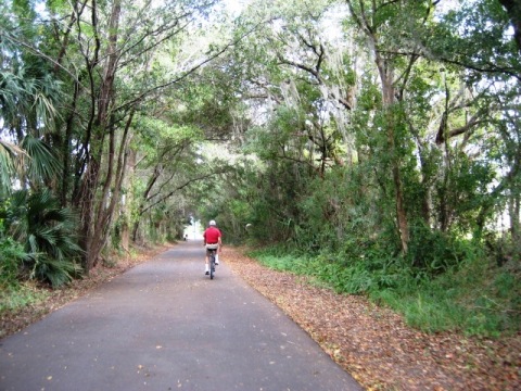
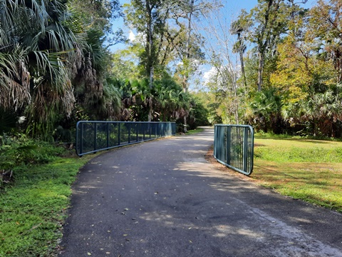
This starts one of the prettier sections along the trail, with only a few residential road crossings. The trail passes through residential neighborhoods and under SR 417 on the way to the Black Hammock trailhead (parking, water, restrooms, benches, equestrian parking). Built on the old Sanford and Indian River Railroad bed between Oviedo and Sanford; the Black Hammock Trailhead is on a spur that ran to Black Hammock on Lake Jesup. The trail crosses the trestle over scenic Howell Creek, and continues through a residential area of the Tuscawilla community in Winter Springs to the bridge over SR 434.
SR 434 Bridge to Winter Springs Town Center - 1 mile
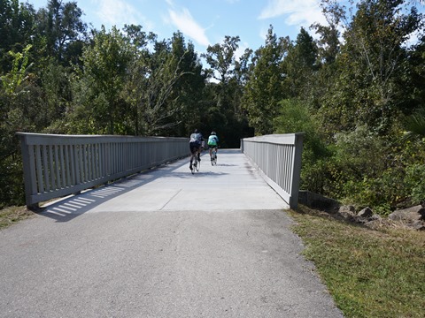
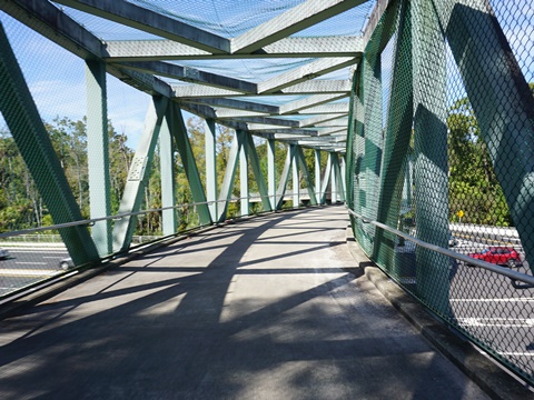
The bridge is a welcome addition over busy SR 434. From the bridge, the trail continues toward Winter Springs Town Center, a convenient stop for refreshments and to rest. A new paved trailhead (parking only) provides access to restaurants and other amenities at the Town Center - watch for the sign along the trail pointing to the trailhead.
Winter Springs Town Center
Winter Springs Town Center to Layer Elementary School - 2.5 miles
Town Center to Dog Park
Leaving the Town Center, the trail passes Winter Springs High School and Central Winds Park (parking, restrooms, water, picnic, playground, playing fields, nature trail with views of Lake Jesup). New restroom facilities located near the playing fields approaching the dog park are a welcome addition! At Winter Springs Dog Park, a side road (Hicks Ave.) between the dog park and Central Winds playing fields runs to parking and continues to a fishing pier with views of Lake Jesup (about 3/10 mile).
Dog Park to Layer Elementary
Past the Dog Park, the trail then emerges to SR 434 - trees planted during construction have matured, so some shade provided as well as buffer from the road. The trail again turns away from the road to another pretty portion over Gee Creek, arriving at Layer Elementary School. Formerly, the trail ended here with a gap, but now is continuous from this point.
Layer Elementary to Soldiers Creek Park - 2 miles
Layer Elementary to Powerline
From Layer Elementary, the trail runs alongside CR 419 for about 1/2 mile, then turns away from the road, over a railroad crossing and past a transfer station to Old Sanford-Oviedo Street. Crossing Old Sanford-Oviedo Street (watch for vehicles entering and leaving the transfer station), the trail continues to the powerline. This section was newly opened at this writing, in the future we hope to see some landscaping, a bench or two, and perhaps some parking.
Powerline to Soldiers Creek Park
The trail follows the powerline through Spring Hammock Preserve. This section has NO shade, benches are provided.. At a bridge over Soldier Creek a hiking trail crosses, we saw a school group on one of the sponsored day-trips from the Environmental Studies Center (which is managed by Seminole County Public Schools). Approaching the Center is a circle (end of Osprey Trail access road), link here to the unpaved path to Lake Jesup. Passing the Center, the trail crosses a railroad track, and then a crosswalk at CR 419 to Soldiers Creek Park. At Soldiers Creek Park are restrooms, water, parking, playing fields, picnicking, equestrian parking, and start of a 1.3 mile mountain bike trail (bike wash area, fix-it station).
Biking at Spring Hammock Preserve Wilderness Area
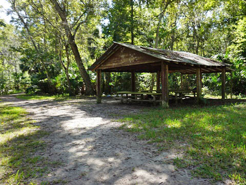
If you have the right bike tires and the ground isn't too wet, take time to bike or hike the unpaved trail in the Spring Hammock Preserve Wilderness Area for a view of natural Florida. Take care, the trail can be rough with roots and rocks, and portions can be underwater. A pavilion used for educational purposes is along the way, with access to Soldier Creek for study. There formerly were a series of boardwalks including one to Lake Jesup, but they've been damaged and now closed. This was disappointing, as the ancient cypress in the flood plain are magnificent. The only boardwalk we observed currently open is the Hydric Hammock Loop, but again we met a school group on an educational day trip so we skipped visiting. Future plans include rebuilding the boardwalk to Lake Jesup, and paving the trail to the boardwalk.
Biking at the Wilderness Area
Secluded and quiet
Historic View - Boardwalk to Lake Jesup (2012)
Note: We walked the bikes!
Soldiers Creek Park to Big Tree Park - 1.5 miles
From Soldiers Creek Park, the trail continues through hammock to an overpass at US 17-92. The Soldiers Creek Mountain Bike Trail crosses in this section. From the overpass the trail then runs along General Hutchinson Pkwy. to Big Tree Park (parking, water, restrooms, picnic, playground, boardwalk).
Historic Big Tree Park
Big Tree Park is named for the large, ancient cypress trees on site. "The Senator" at 3,500 years was a National Champion Bald Cypress but sadly lost to arson in 2012. A clone, "The Phoenix," has been planted near the playground. "Lady Liberty," a 2,000 year old bald cypress, is now the reigning "Big Tree" - walk along the Boardwalk to see Lady Liberty and the charred remains of The Senator. The park was donated to Seminole County by Senator M.O. Overstreet (thus the name "The Senator") and dedicated by President Calvin Coolidge in 1929.
Section 3... Big Tree Park (Longwood) to Wayside Park (Sanford)
Big Tree Park to Greenwood Lakes Park - 1.5 miles
Past Big Tree Park, continue alongside General Hutchinson Pkwy. to Ronald Reagan Blvd. (CR427), turn left and proceed to the crosswalk. This is a busy road, be careful when crossing over to Longwood-Lake Mary Road. The trail runs alongside the road, at Lake Mary High Schoox`x`l go left onto Greenway Blvd. and proceed to Greenwood Lakes Park (parking, restrooms, playground, pavilion, volleyball, ball field, tennis, roller hockey rink).
Greenwood Lakes Park to Lake Mary Blvd. Bridge (Trailhead) - 2.5 miles
The trail continues through Greenwood Lakes Park and behind the library before coming back onto Greenway Blvd., where it turns off at the Crossings and follows the power lines. Go through the tunnel under Greenwood Blvd. Exiting the Crossings, cross the road at Greenwood and Sun Drive and continue a short distance along the roadside to the bridge at Lake Mary Blvd.
Lake Mary Blvd. Trailhead to H.E. Thomas Jr. Pkwy. - 2 miles
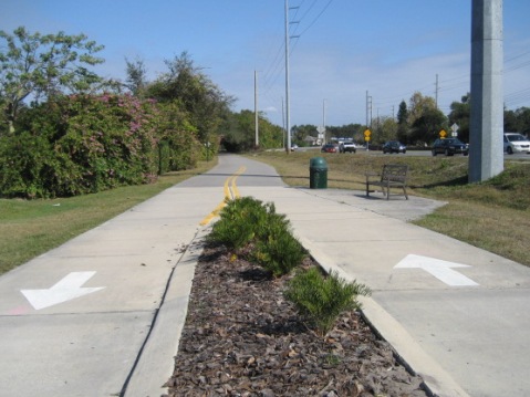
Under the Lake Mary Blvd. bridge is the Lake Mary trailhead (parking, restrooms, water). Here Greenwood Blvd. becomes Rinehart Road and a rather uninspiring section of the trail, basically a wide sidewalk with no shade that runs north to the I-4 bridge link to the Seminole Wekiva Trail. From the bridge, the trail continues as part of the Florida Coast-to-Coast Trail, running along Rinehart Road to H.E. Thomas Jr. Pkwy. (CR46A) with some business crossings and little shade. (Note: From the bridge north, formerly called the Rinehart Trail.)
H.E. Thomas Jr. Pkwy. to Lake Monroe Wayside Park - 4.5 miles
Continuing along Rinehart Road the trail crosses SR 46, runs to Monroe Road (CR 15), and then to US 17-92. Here is a tricky 3-part crossing. Cross over US 17-92 then turn left, crossing two I-4 exit ramps (to the right connects to the newly extended Sanford Riverwalk). The trail goes under I-4 and ends at Lake Monroe Wayside Park (Sanford) (MM 27.7). A bike/pedestrian bridge crosses the St. Johns River to meet the Spring-to-Spring Trail at Lake Monroe Park - completing this link on the Florida Coast-to-Coast Trail .
More Information and Resources
More Biking Nearby:
Cady Way Trail
Seminole Wekiva Trail
Spring to Spring Trail
Sanford Riverwalk
Seminole County Trails - see Overview Map for more nearby
Related Resources:
See all bike trails in Seminole County
Copyright ©BikeOrlando.net. All Rights Reserved.
