Bike Orlando
Over 40 Bike Trails, 300+ Miles
Ride Safe, Greater Orlando, Disney Area
Trail Maps & Photos Galore
You are here > Home > Osceola County > Kissimmee Biking
Kissimmee Biking... Florida
Premier Osceola County, FL Biking
The City of Kissimmee recognizes the importance of incorporating walking and biking as transportation options and has adopted a comprehensive bicycle and pedestrian plan that includes dedicated paths for biking and walking. Once known as a cattle town, Kissimmee today is better known for its proximity to Walt Disney World, with accommodations, restaurants, and attractions.

Location: Osceola County (Kissimmee)
Mileage: About 32 miles
Surface: Asphalt, 12'; sidewalk, bike lanes
Trailheads/Parking: Osceola County Welcome Center,
Oak St. Park, Lakeside Park, Brinson Park. Parking at some of
the businesses along the route. (See map)
Nearby Points of Interest: Walt Disney World,
Shingle Creek Regional Park, Silver Spurs Rodeo, Gatorland
Bike Shops / Rentals:
Evolve Bicycles (Celebration)
Biking in Kissimmee
Biking in Kissimmee is paved and diverse including in-town, residential, waterfront, and through Shingle Creek Regional Park. Connectors run to Kissimmee and St. Cloud.
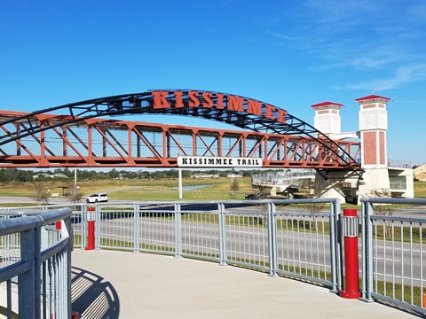
Kissimmee Loop Trail - 7 miles
The Kissimmee Loop Trail runs about 7 miles
circling the city, linking residential neighborhoods to shopping,
restaurants, parks, schools, and medical facilities, and connecting
to the Shingle Creek Trail at two points. The
trail bridge over John Young Parkway is a notable feature.
See more details and photos here
Shingle Creek Trail - 9 miles
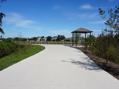
The Shingle Creek Trail here is part of a larger
regional trail that eventually will run 32 miles into Orange County.
In Kissimmee, it runs through scenic Shingle Creek Regional
Park, connects to the Kissimmee Loop Trail
and eventually to Kissimmee Lakeshore Trail.
See more details and photos
Kissimmee Lakeshore Trail - 1 mile
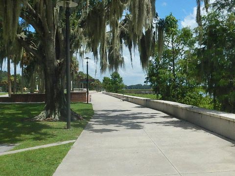
The Lakeshore Trail through Kissimmee
Lakefront Park runs along the north shore of Lake
Tohopekaliga. Connect to the Shingle Creek Regional
Trail, and to the Neptune Road Recreational
Pathway. Other trails run through and loop the park, linking
to its many facilities and to parking.
See more details and photos
Emory Canal Trail - 1.4 mile
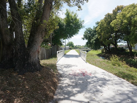
The Emory Canal Trail is a
paved path along the Emory Avenue
Canal in Kissimmee, FL, connecting to the Kissimmee
Loop Trail at Martin Luther King Blvd. It runs past residential
neighborhoods, and connects to the Oak Street Park and
Community Center.
See more details and photos
Neptune Road Recreational Pathway - 6 miles
The paved trail runs alongside Neptune Road from Brinson
Park (where it links to Kissimmee Lakefront Park).
In St. Cloud, it connects to St. Cloud Lakefront Park
at East Lake Topekaliga via the Kissimmee St. Cloud Connector along
the St. Cloud (C-31) Canal.
See more details and photos here
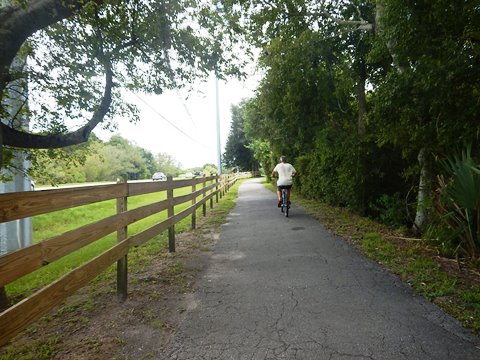
Kissimmee St. Cloud Connector - 1.5 mile
The multi-use path links the Neptune Rd. Recreational
Pathway (Kissimmee) to the Fortune-Lakeshore Multi-Use Trail (St.
Cloud), which leads to St. Cloud Lakeside Park. Completely off-road, it runs alongside the C-31 Canal.
See more details and photos here
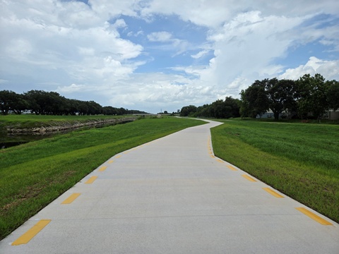
Pleasant Hill Road Recreational Pathway - 8 miles
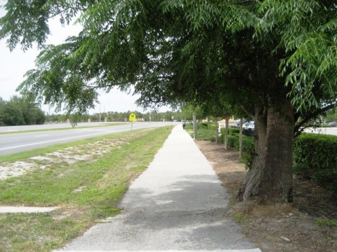
The pathway follows the east side of Pleasant Hill Road about 8 miles from US 17-92 (S. Orange Blossom Trail) in Kissimmee to Cypress Parkway at Poinciana.
Running roadside, it connects residential areas with shopping, restaurants, and schools along the route.
See more details and photos here
More Information and Resources
More Nearby Biking:
Shingle Creek Regional Trail - Osceola County
City of St. Cloud biking
Celebration Bike Paths
Osceola County Trails - see Overview Map for nearest
Related Resources:
See all bike trails in Osceola County


Copyright ©BikeOrlando.net. All Rights Reserved.