Bike Orlando
Over 40 Bike Trails, 300+ Miles
Ride Safe, Greater Orlando, Disney Area
Trail Maps & Photos Galore
You are here >
Home >
Lake County >
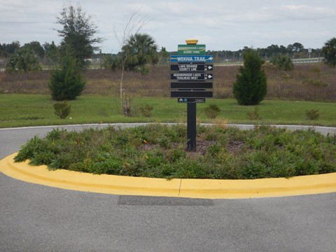
Wekiva Trail
Reported: November 2022
Wekiva Trail... Lake County, Florida
Part of a Growing Bike Trail Network North of Orlando
The paved, multi-use Wekiva Trail is part of Lake County's growing bike trail network. Currently, 6.5 miles are completed from the Lake/Seminole County Line at the Wekiva River to Sorrento Ave. When complete, it will total 15 miles to Mount Dora and connect to the Tav-Lee Trail (Tavares). To the east, the trail connects seamlessly with the Seminole Wekiva Trail, providing a Lake County link to the Florida Coast-to-Coast Trail and many more miles of continuous biking. (Detailed map and photos below.)
Wekiva Trail Map
Location: Lake County
End Points: SR 46 Lake/Seminole County Line to
Hojin St. (Sorrento Ave.)
Mileage: 6.5 miles, 15 when complete
Surface: Asphalt, 14'
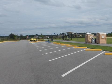
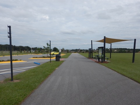
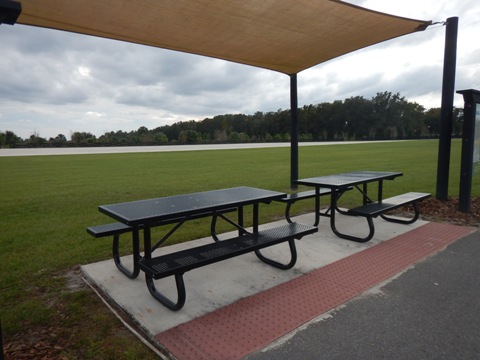
Trailheads/Parking: Neighborhood Lakes Trailhead,
Seminole State Forest Trailhead (See map)
Nearby Points of Interest: Seminole State Forest,
Rock Springs Run State Preserve
Bike Shops / Rentals:
Pedego Electric Bikes (Mount Dora; rentals, sales, service)
Page Summary:
- Biking the Wekiva Trail
- Trail Start to Seminole State Forest Trailhead
- Seminole State Forest to Neighborhood Lakes Trailhead
- Neighborhood Lakes Trailhead to Sorrento Ave. - About the Wekiva Trail System
- More Information and Resources
Biking the Wekiva Trail... Comments and Photos
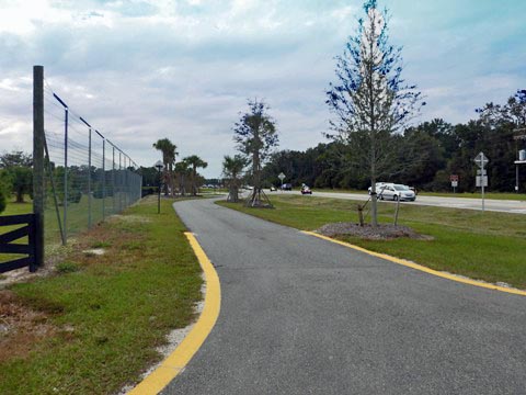
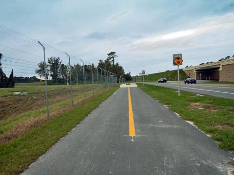
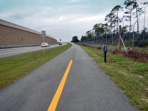
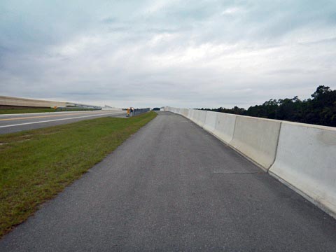
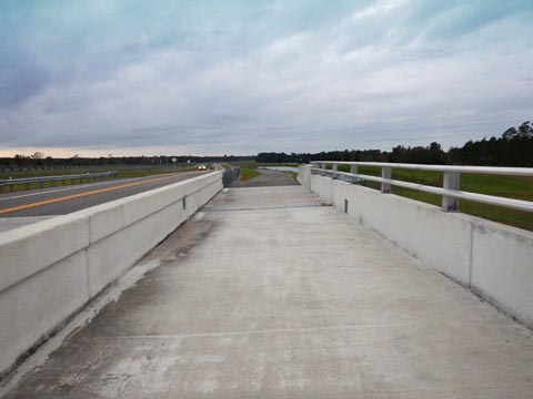
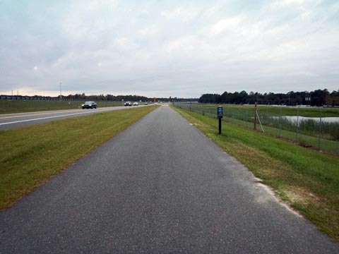
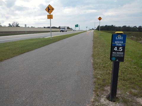
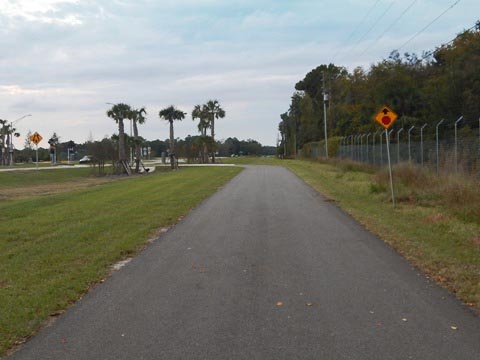
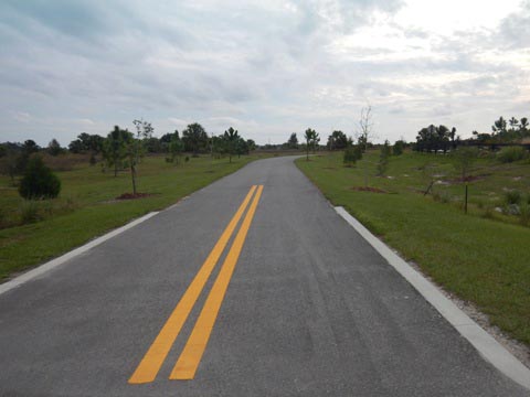
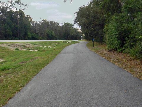
This portion of the Wekiva Trail was created along with the development of the Wekiva Parkway and realignment of SR 46. As such, it runs roadside with almost constant road noise. Wide medians and concrete barriers on bridges are positives. Mile markers are placed every half mile. No shade or benches yet, hopefully as the bike trail matures more landscaping will be added. This is an easy ride with long straightaways, a wide field of view, and few road crossings, which will make it popular with road bikers.
We visited this trail from east to west.
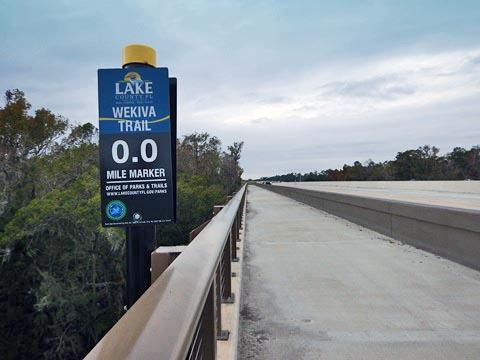
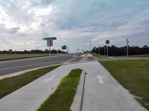
Mile "0" to Seminole State Forest, Bear Lake Trailhead (0.5 mile)
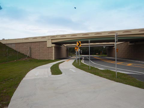
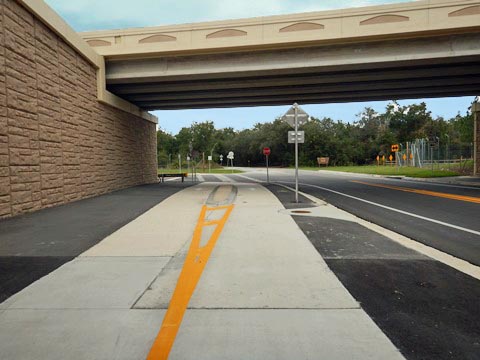
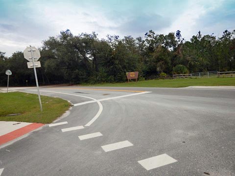
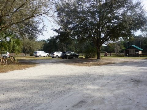
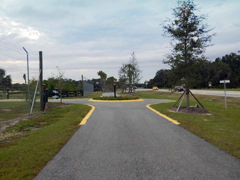
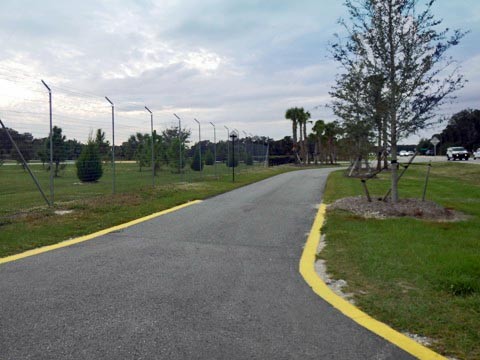
Mile Marker 0 is at the Lake/Seminole County Line and juncture with the Seminole Wekiva Trail at the Wekiva River bridge along SR 46. The trail then follows SR 46 to Wekiva River Road where it turns right and goes under SR 429 to the Seminole State Forest Bear Lake Trailhead. There are a couple of parking spaces at the entry to the trailhead, otherwise it's a nominal fee to use the State Forest facility (parking, restrooms, picnic, eco-biking and hiking - see link below for more information).
Note: The entry to Rock Springs Run State Reserve is also along Wekiva River Road, turn left at the corner.
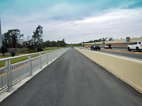
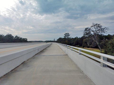
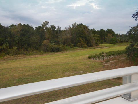
Seminole State Forest to Neighborhood Lakes Trailhead (5.4 miles)
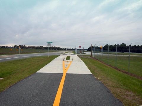
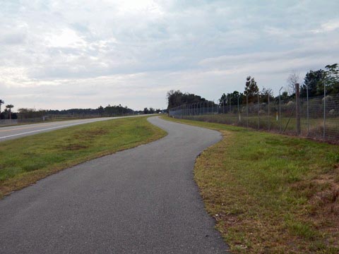
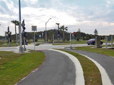
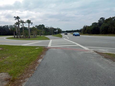
The trail runs roadside on the north side of SR 46 (paralleling SR 429) with a couple road crossings. Past Fairglade Dairy Road it cuts away from the road, then crosses SR 46 to the Neighborhood Lakes Trailhead. This is the busiest crossing, the crossing lights had not yet been uncovered and activated when we visited - when functioning they will be helpful, in the meantime be very careful.
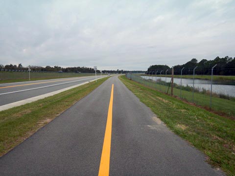
This section runs between Seminole State Forest and Rock Springs Run State Reserve. The roadway was built to minimize impact on the environment, and much is elevated with protected bike lanes being a plus. These bridges also provide wildlife corridors, and wildlife fencing keeps deer, bear and other wildlife off the road.
Leaving Forest Entrance
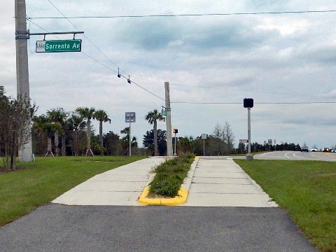
Neighborhood Lakes Trailhead to Sorrento Ave. (0.6 mile)
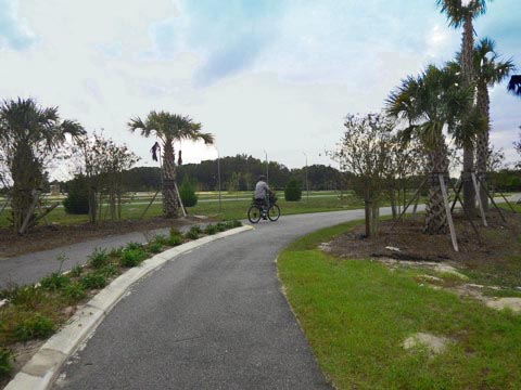
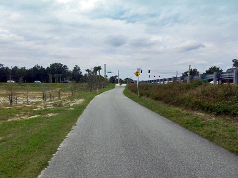
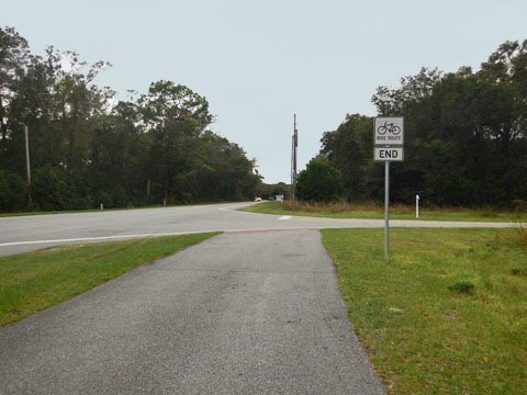
Neighborhood Lakes Trailhead has parking, restrooms, water, picnicking, and equestrian parking. It's also serves the Neighborhood Lakes Scenic Trail, a 2.1 mile paved multi-use trail that runs south to the Lake/Orange County Line. From the trailhead, the Wekiva Trail runs along SR 46 with one road crossing at Camp Challenge Rd. At Sorrento Ave., turn left. The trail currently ends at Hojin St., eventually will continue to Mount Dora from here.

About the Wekiva Trail System
The Wekiva Trail System is an evolving network providing a regional connection between Lake, Orange and Seminole Counties. The Wekiva Trail is the spine:
- to the east, linking to Seminole County and the Seminole Wekiva Trail and Florida Coast-to-Coast Trail;
- to the south, linking to the Neighborhood Lakes Scenic Trail into Orange County and eventually the West Orange Trail;
- to the west, eventually running to Mount Dora and the Tav-Lee Trail, which eventually will continue from Tavares to Leesburg.
More Information and Resources
Nearby Biking:
Seminole-Wekiva Trail (Seminole County)
Seminole
State Forest (eco-biking)
Neighborhood
Lakes Scenic Trail
Lake County Trails - see Overview Map for more nearby
Nearby Paddling:
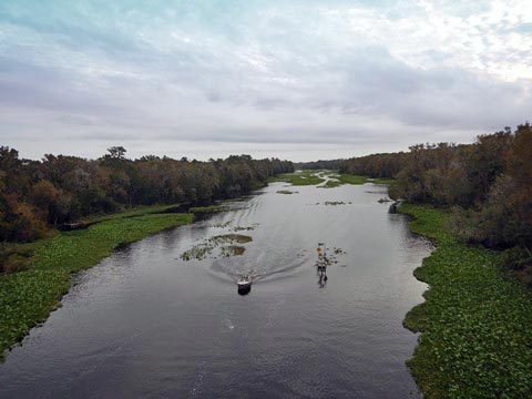
Wekiva
River
Rock Springs Run
Black Water Creek in Seminole State Forest
Related Resources:
See all bike trails in Lake County


Copyright ©BikeOrlando.net. All Rights Reserved.