Bike Orlando
Over 40 Bike Trails, 300+ Miles
Ride Safe, Greater Orlando, Disney Area
Trail Maps & Photos Galore
You are here >
Home >
Orange County >
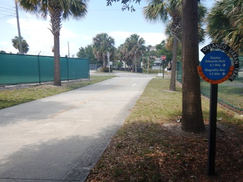
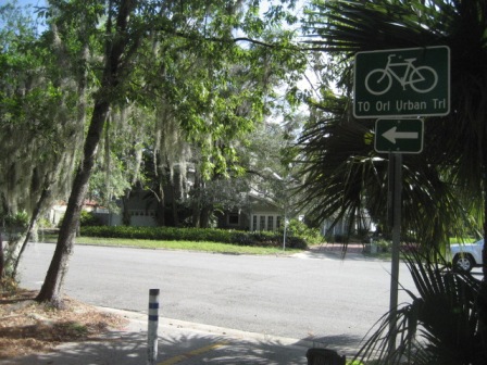
Orlando Urban Trail
Latest update: April 2023
Orlando Urban Trail...
Orlando, Florida In-town Biking
The Orlando Urban Trail marks a big step in Orlando becoming a more bike- and pedestrian-friendly city, linking businesses, restaurants, shopping, parks, cultural sites, and residential neighborhoods. To date, the trail runs about 5.5 miles, starting from the north at Winter Park's Mead Garden, through Orlando's cultural corridor at Loch Haven Park, through downtown Orlando. A new, currentely disconnected section to the south provides a link to the SoDo District and Orlando Health facilities. The trail links to SunRail stations at Historic Church Street, Lynx Central, Advent Health, and Orlando Health. The Orlando Urban Trail is an important part of the Orlando Downtown Loop. (Detailed map and photos below.)
Location: Orange County (Orlando)
End Points: Downtown: Magnolia Ave. at
Weber St. to Church Street; South: Division St. from
Gore St. to Michigan St.; North: Magnolia Ave. to Loch
Haven Park to Mead Garden, Winter Park
Mileage: 5.5 miles to date
Surface: 12 feet, asphalt, concrete, short portion
on-road
Trailheads/Parking: Loch Haven Park, Gaston Edwards
Park, Mead Garden; Downtown street parking and parking lots
(see map)
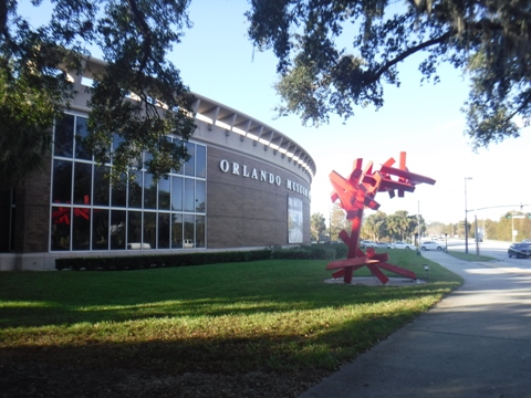
Nearby Points of Interest: Orlando Museum of Art,
Orlando Science Center, Orlando Repertory Theater, Orlando Shakespeare
Theater, City of Winter Park, City of Orlando
Page Summary:
- Biking the Orlando Urban Trail
- South from Loch Haven Park
- Loch Haven Park to Magnolia Avenue
- Downtown - Magnolia Ave. to Church St. (Gertrude's Walk)
- Orlando Urban Trail South Extension - North from Loch Haven Park
- Princeton Street to Mead Garden - More along the Orlando Urban Trail
- Lake Ivanhoe Trail at Gaston Edwards Park
- Loch Haven Park
- On-Road Link to Cady Way Trail - More Information and Resources
Biking the Orlando Urban Trail... Comments and Photos
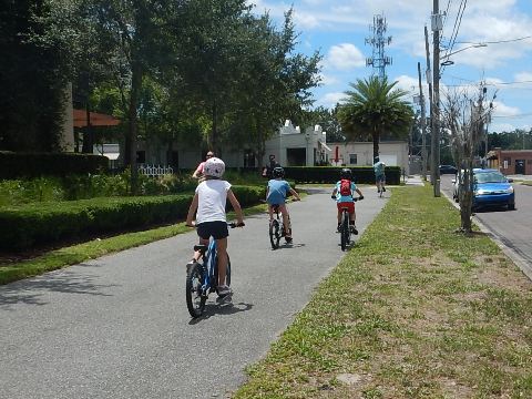
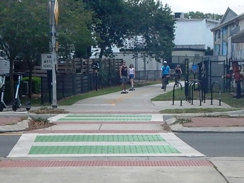
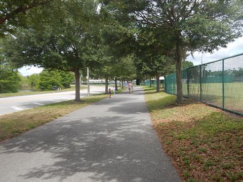
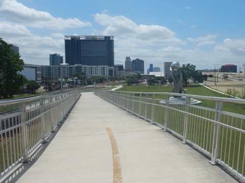
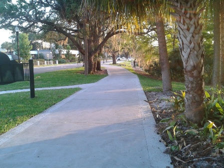
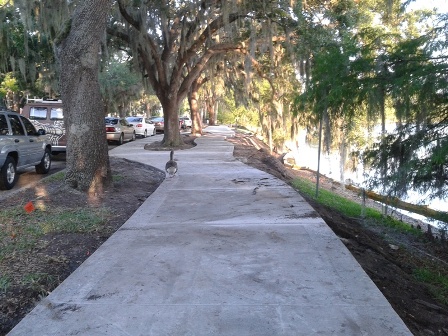
A beginning for downtown Orlando FL, and worth a look! Popular with bikers, runners and walkers, the trail can be busy but not crowded. It's almost totally off the road, with one short section on-road. The section north of Magnolia Ave. includes more green space, while sections to the south are urban. The Colonial Drive Overpass in Downtown Orlando is a big plus. The history plaques along the trail are a nice addition.
Here we show the trail both south and north, starting from Loch Haven Park.
Orlando Urban Trail... South from Loch Haven Park
Loch Haven Park to Magnolia Avenue
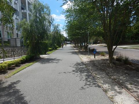
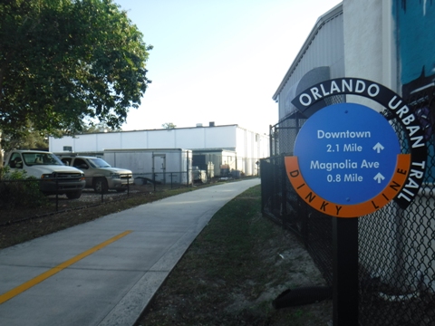
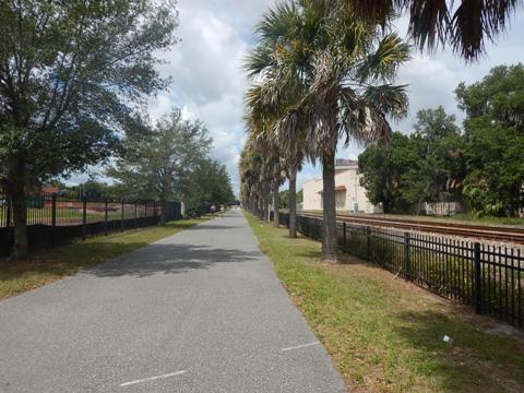
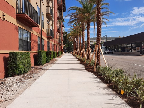
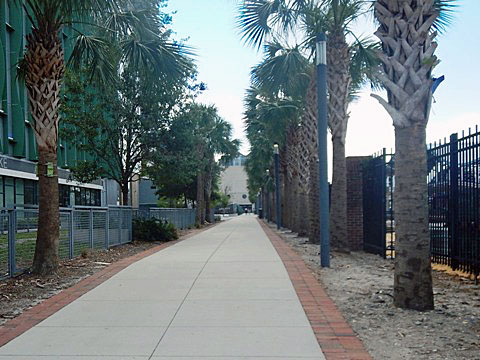
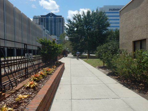
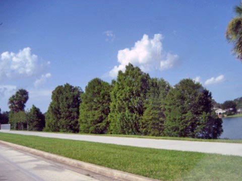
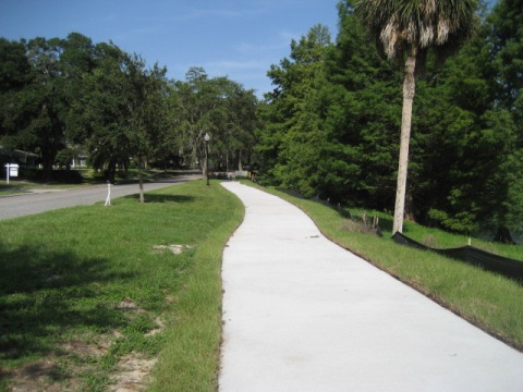
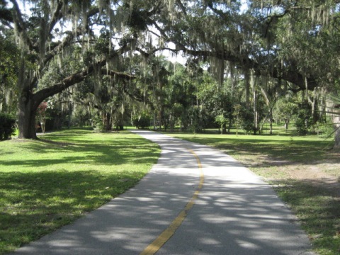
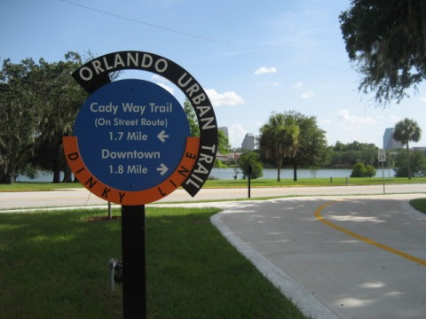
In this section, the trail follows the old Dinky Line rail bed - the historic former rail line to Winter Park. The trail here includes residential and business areas, parks and schools along with access to the cultural attractions at Loch Haven Park. It also links to routes leading to the Cady Way and Lake Ivanhoe Trails (see below).
Loch Haven Park to Virginia Drive
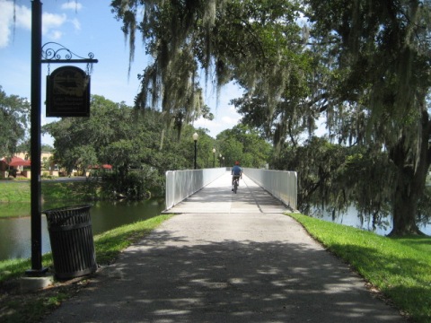
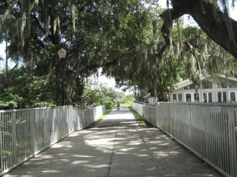
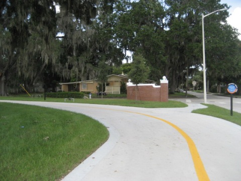
From Loch Haven Park, cross Princeton Street. and follow the trail to the bridge crossing Lake Formosa to the south. The trail runs along Heron Drive through a neighborhood featuring original homes on one side and newer apartments on the other, ending at a shopping/restaurant area.
Virginia Drive to Lake Highland
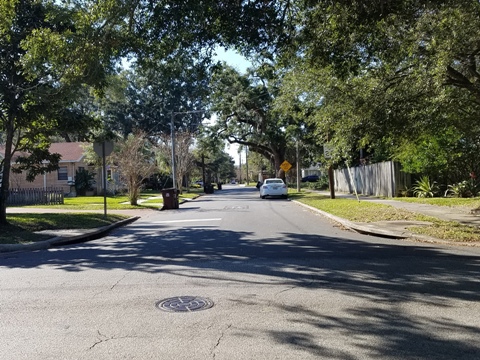
Crossing Virginia Drive leads into an industrial area. At Ferris Avenue, the trail meets Lake Highland Drive at Lake Highland Preparatory School. Link also from here to the Cady Way Trail (see below).
Lake Highland to Magnolia Avenue
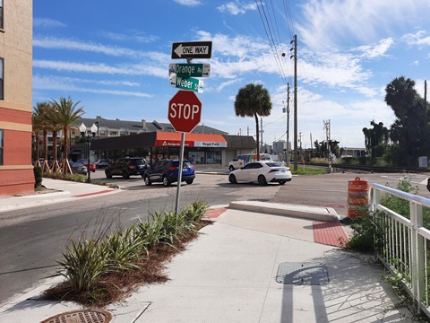
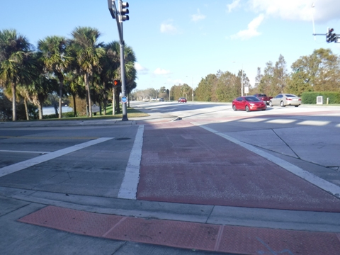
The trail follows Lake Highland Drive between the lake and Lake Highland Prep, continues along the railroad track past Highland Ave., and then comes to Magnolia Avenue. Proceed south on Magnolia to Weber St. Cross Magnolia Ave. at Weber St., being careful crossing this busy road.
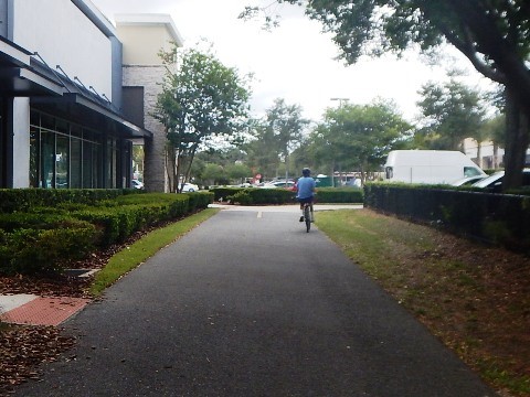
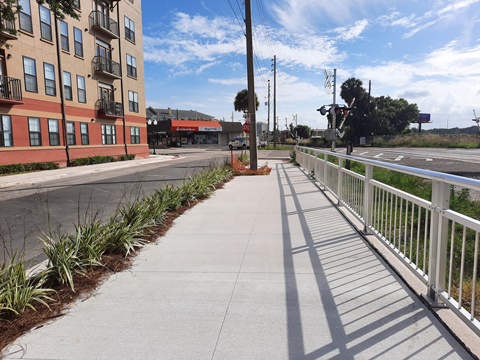
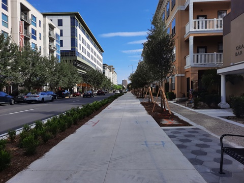
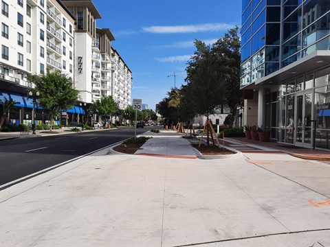
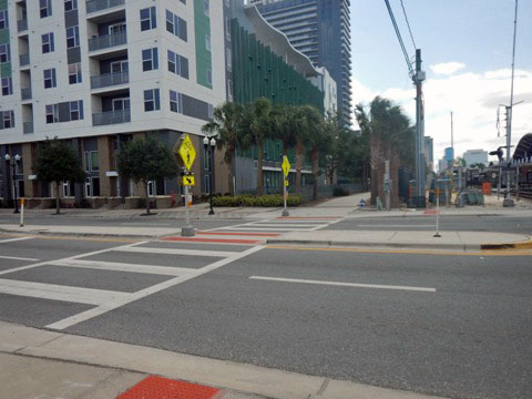
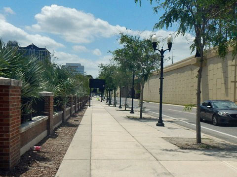
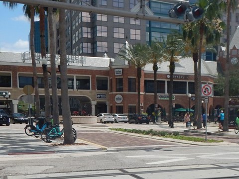
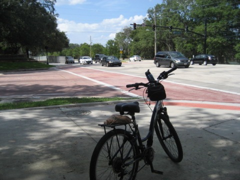
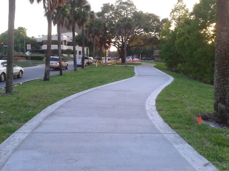
Downtown - Magnolia Ave. to Church St. (Gertrude's Walk)
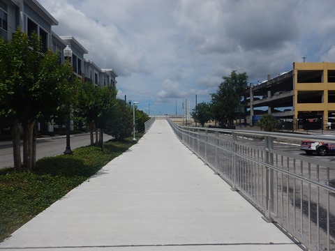
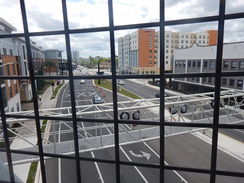
The overpass at Colonial Drive (SR 50) is a big plus. Be very careful at cross-streets as traffic can be heavy, especially during the week. Public parking lots are available.
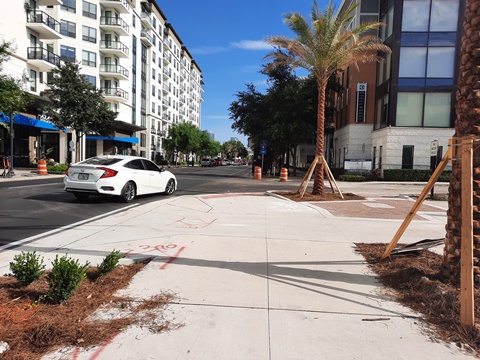
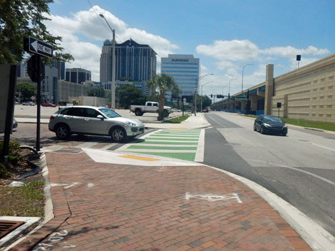
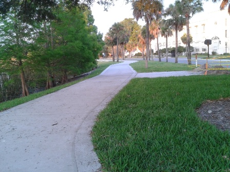
Magnolia Ave. to Colonial Dr. Overpass
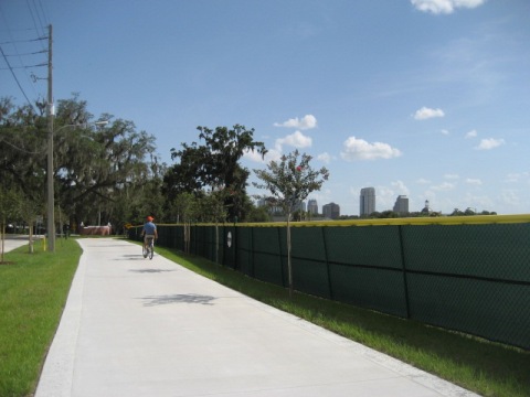
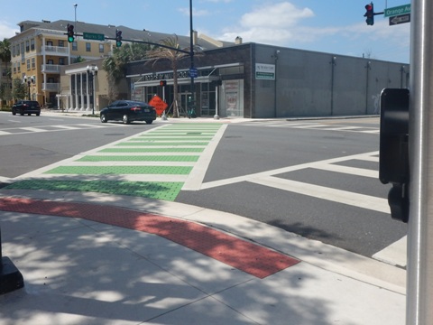
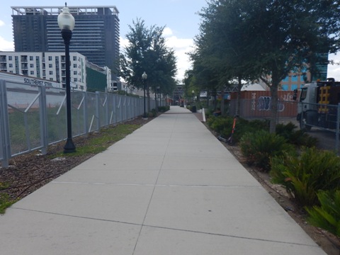
The trail then runs on the north side of Weber St. to Orange Ave. Go south (left) on Orange Ave. to Marks St., then cross to the west side of Orange Ave. This is a busy intersection - it has an interesting diagonal crosswalk but be careful. Continue along Orange Ave. to the ramp to thet Colonial Drive Overpass. Landscaping added in this section softens the downtown surroundings.
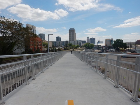
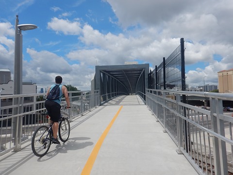
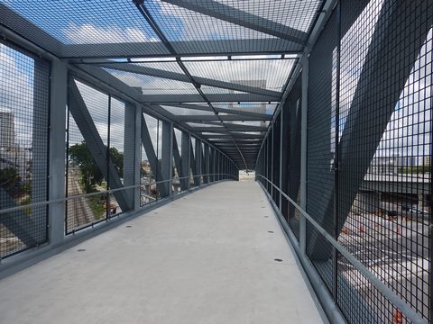
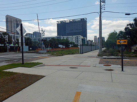
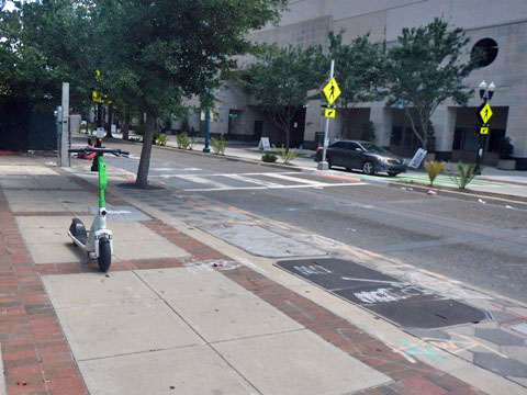
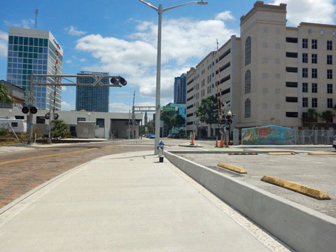
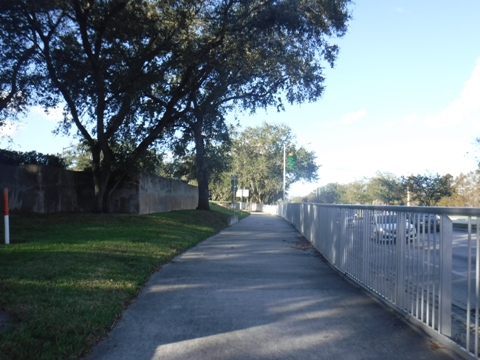
Colonial Dr. Bridge to Livingston St.
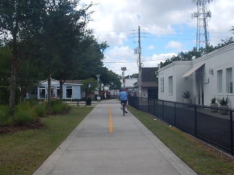
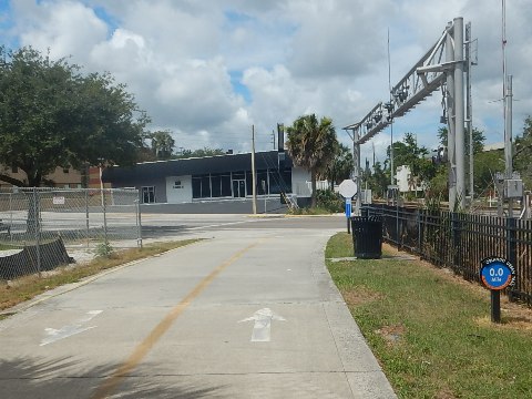
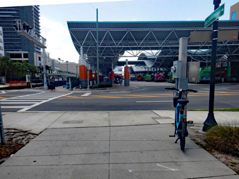
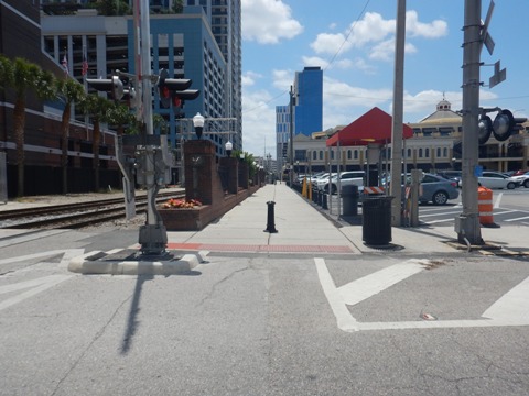
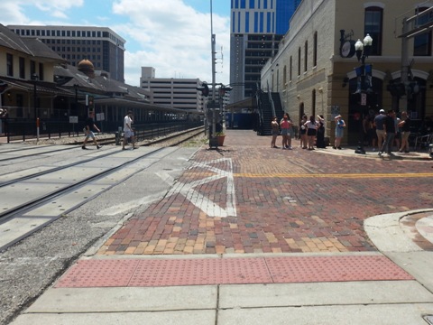
Take the ramp from Orange Ave. and cross Colonial Dr. on the overpass. Past here, the trail crosses Concord St. Continue to Amelia St. at the Lynx bus/SunRail train station (note: both buses and trains are equipped to carry bikes). Turn east (left) and cross the track to the crosswalk. Cross Amelia then continue south (straight) on the trail, paralleling the tracks to Livingston St.
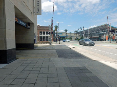
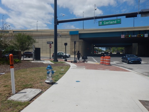
Livingston St. to Gertrude's Walk / Church St. Station
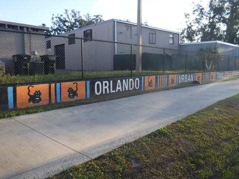
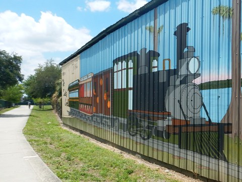
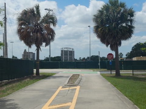
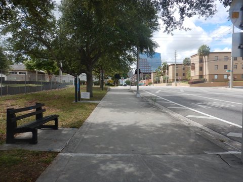
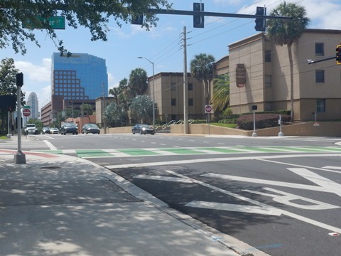
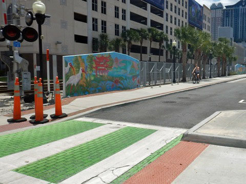
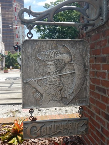
This section does not yet provide directional signs, and there are several turns which can be confusing: Past the bus/train station, turn east (left) to the crosswalk. Cross Livingston St. and turn west (right), cross the railroad again and continue to N. Garland Ave. Turn south (left) on Garland and follow the trail, crossing W. Robinson St. At W. Jefferson St., cross the road and turn east (left) back to the railroad track. Look for the colorful mural - turn south (right) onto the trail along N. Gertrude Ave. and ride on Gertrude's Walk crossing W. Washington St., W. Central Blvd. and W. Pine St. to W. Church St. and current trail end. Church St. Plaza is a popular gathering spot with many restaurants. The sidewalks along Church St. are rideable but there may be a lot of pedestrians, watch for cars in the road.
Notes:
- Per Orlando code, bicycles are allowed on sidewalks within the city, except "where prohibited by clearly visible signs or markings."
- At Washington St., a route is planned linking to the Orlando Downtown Connector as part of the Orlando Downtown Loop.
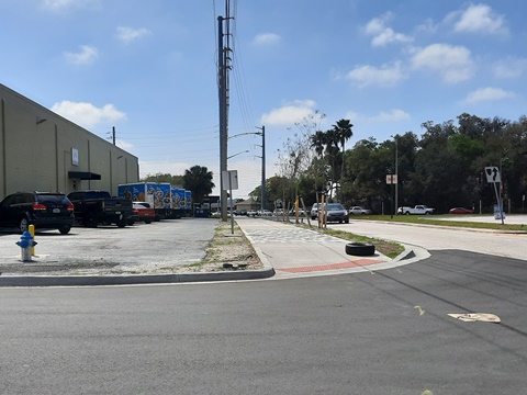
Orlando Urban Trail South Extension
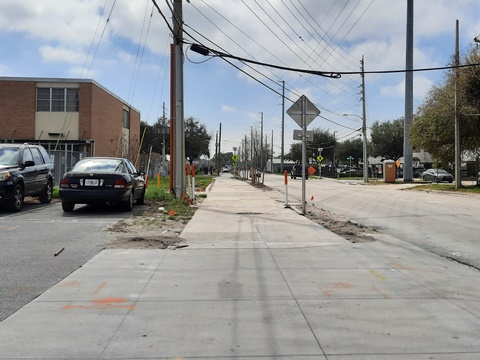
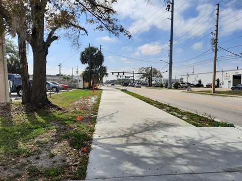
To the south and currently not connected to the trail at Church St. is an extension along S. Division St. from W. Gore St. to W. Michigan Ave. This provides a link to the SoDo District, SunRail and Amtrak service, and Orlando Health facilities, with a spur along Columbia St. The trail (formerly a narrow sidewalk) follows S. Division through a business and industrial district with multiple road crossings and business entrances, so bicyclists will need to stay alert.
Orlando Urban Trail... North from Loch Haven Park
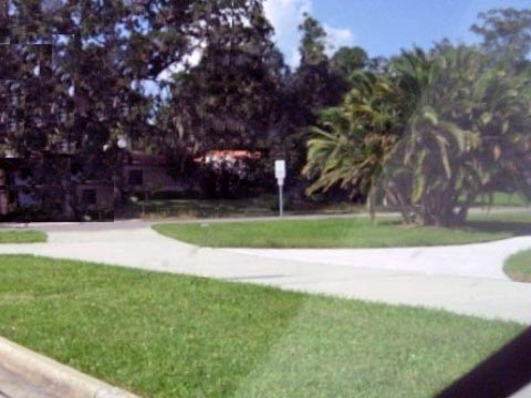
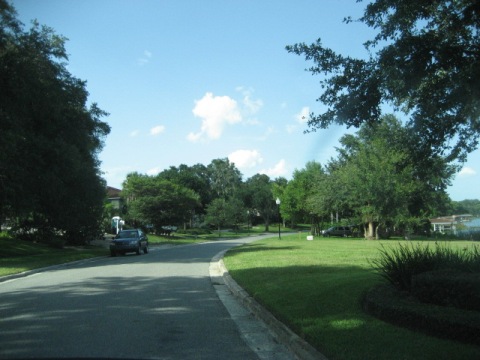
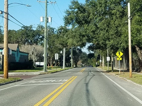
Here the trail runs past Loch Haven Park roadside along N. Mills Ave. and Dorchester Road, then goes on-road heading to Winter Park/Mead Garden.
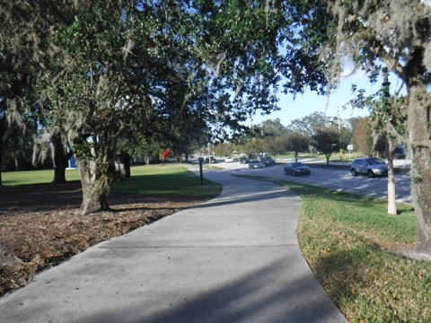
Princeton Street (Loch Haven Park) to Dorchester St.
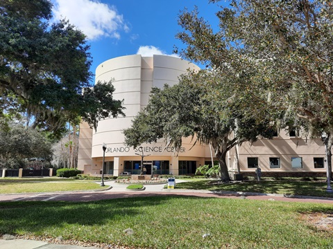
Near Loch Haven Park are three intersections - Princeton Street, Rollins Street, and North Mills Avenue. The trail passes the museums, theaters, and Science Center, then follows North Mills Avenue over Lake Estelle.
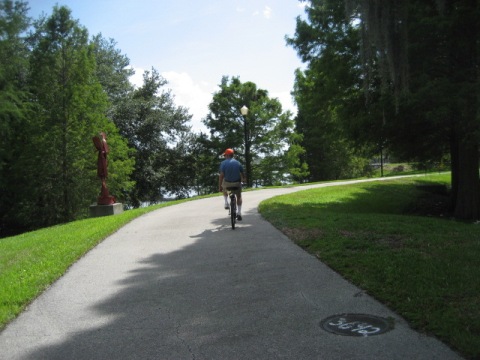
Dorchester St. to Mead Garden
A short section of trail runs next to Dorchester Street, then the trail goes on-road following Lake Shore Drive to Nottingham Street and Mead Garden. There is not a lot of through traffic in this area, but as always be aware and considerate of auto traffic and the residential nature of the neighborhood.


More along the Orlando Urban Trail
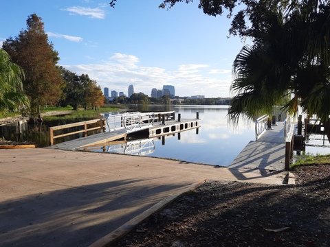
Lake Ivanhoe Trail at Gaston Edwards Park
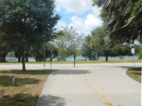
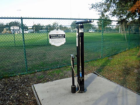
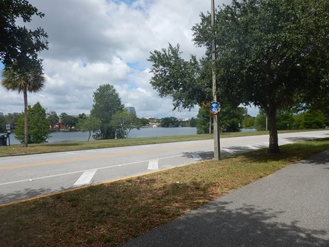
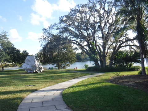
Gaston Edwards Park is a popular recreational area along N. Orange Avenue at Lake Ivanhoe, close to restaurants and shops on Orlando's "Antique Row." A boat ramp allows launching onto Lake Ivanhoe, popular with water skiers and paddle boarders. It also provides one of the best sunset views in town! The park has sand volleyball courts, playground, and a fitnesss course. The Ivanhoe Trail segment links to the Orlando Urban Trail via sidewalk at Magnolia Avenue or at Highland Avenue.

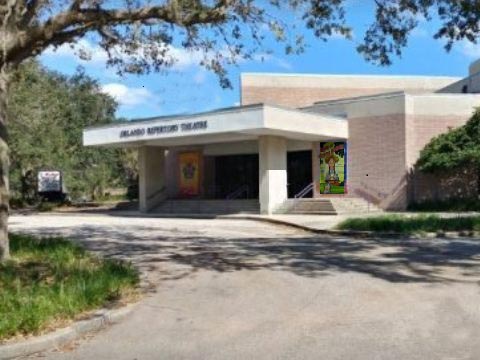
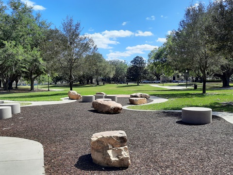
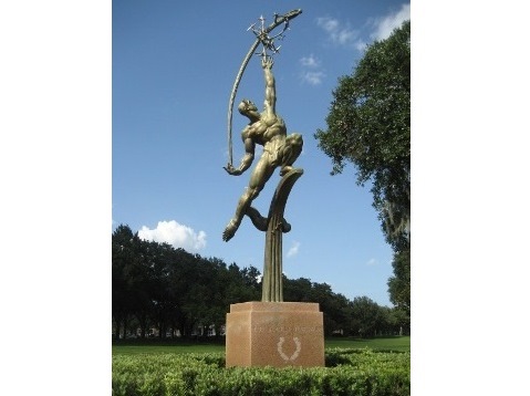
Loch Haven Park
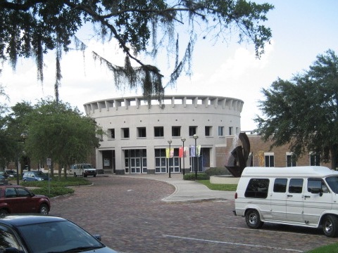
Loch Haven Park is a main cultural center for Orlando, with the Orlando Museum of Art, Orlando Science Center, Orlando Repertory Theater, Orlando Shakespeare Theater, Orlando Fire Museum, and Mennello Museum of American Art. The 45-acre park itself offers a pleasant respite, as well as access to the Orlando Urban Trail.
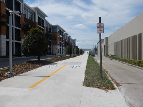
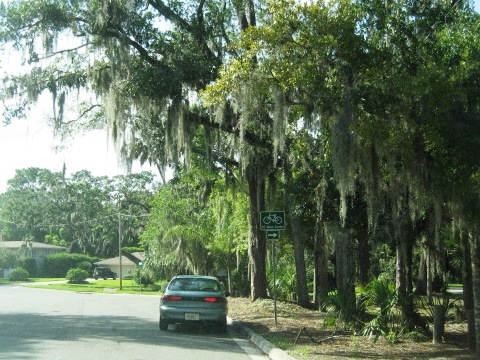
On-Road Link to Cady Way Trail
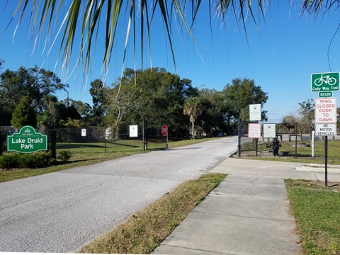
An on-road route has been mapped out from the Orlando Urban Trail at Lake Highland Drive and Ferris Avenue to the Cady Way Trail at Lake Druid Park. Signs, "sharrows" and bike lanes along the roadway mark the route.
More Information and Resources
More Nearby Biking:
Cady Way Trail
Bumby Path
Mead Garden
Orlando Downtown Connector
Orange County Trails - see Overview Map for more nearby
Related Resources:
City of Orlando, Orlando Urban Trail
City of Winter Park - Mead Garden
City of Orlando -
Bicycle and Scooter Registry
See all bike trails in Orange County, FL


Copyright ©BikeOrlando.net. All Rights Reserved.